Telecom design, LiDAR mapping, GIS & UNM, SUE, municipal programs, electricity & gas support, damage prevention platforms, and CCTV inspections—integrated for speed, safety, and audit-ready quality.
Who we serve
Comprehensive Services For Utilities & Broadband
Telecommunications Engineering
End-to-end support: feasibility/route optimization, data verification, Digital Twin via mobile LiDAR, cloud 3D viewer, and asset condition planning. Integrated engineering+GIS+SUE across lifecycle design, structural checks, permitting, and operations.
LiDAR & Mobile Mapping
‘Field-to-finish’ capture with measurable point clouds and high-res imagery—understand location and condition remotely, cut truck rolls, and accelerate decisions.
GIS & Location Intelligence
GIS-as-a-Service, migrations, upgrades, UNM adoption, and FME integrations—plus real-time location analysis, Digital Twin, and event-based predictive analytics for operations and planning.
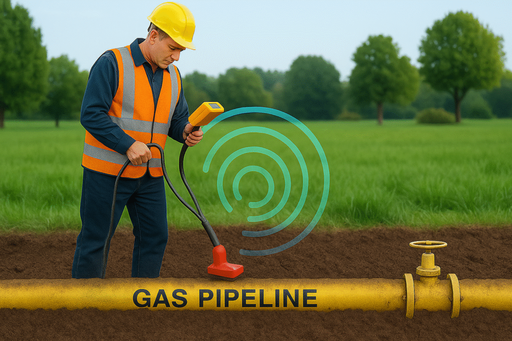
Subsurface Utility Engineering (SUE)
Risk-managed SUE with GPR and electromagnetic methods to locate underground utilities accurately—reducing conflicts, relocations, and redesign.
Field Inspection Services
Programs that combine SUE, field inspections, GIS, and platform-based damage prevention to keep community assets safe and reliable.
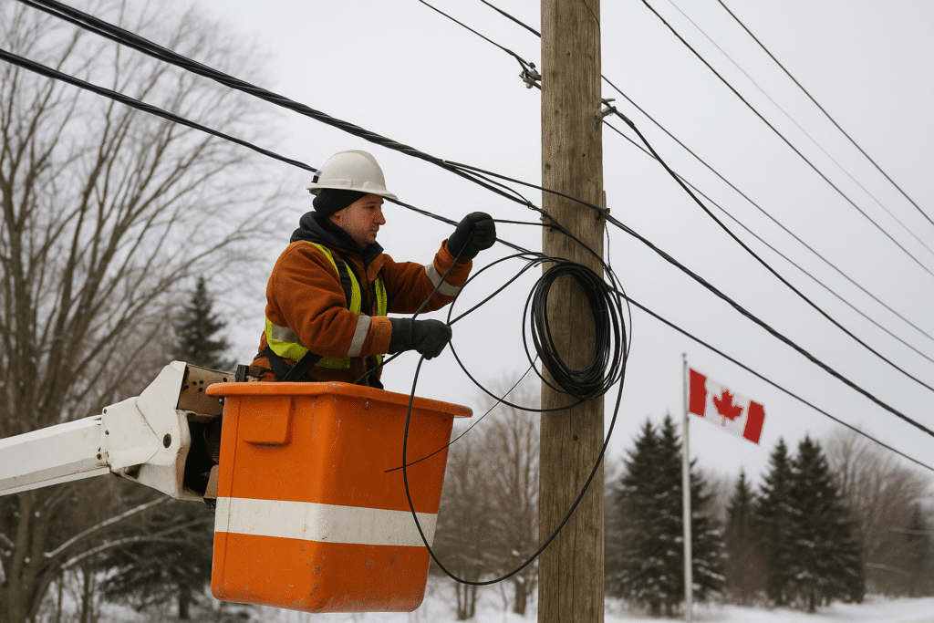
Electricity Distribution
Integrated design, inspections, GIS records, and damage-prevention data to help LDCs maintain safe, reliable networks with audit-ready documentation.
Work with us
Ready to plan, design, and permit your next build?